
The Art of Data Fusion
By Nicolas Lenz (Litix), Stefan Keller (OST) and Reik Leiterer (ExoLabs)
Geodata are used in various industries and academic fields and often have to meet specific requirements in order to be used, for example in terms of geometry, recording time point or semantics. But often different geodata sets have similar geometric properties but different semantics or are captured at different times – or vice versa. Accordingly, the added value arises when your data sources start to «talk to each other», connection points between the data are used or possible gaps can be filled. In this context, there is a multitude of technical terms, which are sometimes used differently depending on the subject area, sometimes are used synonymously and sometimes are used inappropriately in their terminology – so you will read about «append», «merge», «relate», «link», «connect», «join», «combine», or «fuse», just to mention a few.
In the last meeting of the Spatial Data Expert Group on the 4th of November, this topic was presented and discussed, and the challenges and potential of the concept were highlighted. This included a critical examination of the semantic classification as well as the presentation of various possible applications in research and industry. Our host was the UZH Space Hub at the University of Zurich, represented by Dr. Claudia Röösli.

So, what is Data Fusion – with a strong focus on spatial data? For some, it means more a list of different data sets, with a narrative relating one data set to the next. For others, it means visualizing different data sources on the same graph to spot trends, dynamics, or relations. In the spatial domain, the basic concept of data fusion is often the extraction of the best-fit geometry data as well as the most suitable semantic data and acquisition times from existing datasets.
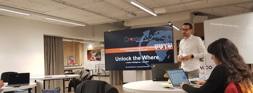
The keynote was given by Dr. André Bruggmann, Co-CEO, Data Scientist and Geospatial Solutions Expert at Crosswind GmbH. Under the motto “Unlock the Where.”, he presented how data fusion techniques help customers gain new insights, from (spatial) visualizations and web applications to facilitate strategic business decisions (e.g., selection of optimal point of sale locations). In addition, he presented a project where data fusion techniques are applied to make detailed and future-oriented statements about the assertiveness of e-mobility and identify relevant trends for the automotive industry.
These inputs led to an exciting discussion between the experts present – not only on the technical implementations presented, but also regarding the potential for optimisation and possible future cooperation. This is exactly how the initiators of the event had envisioned it – an open and inspiring exchange in line with the basic idea of open innovation.
Are you also interested in spatial data and its applications? Then come to the next expert group meeting on 15th of December on the topic of GIS and Health, hosted by Dr. Joachim Steinwendner from FFHS.
